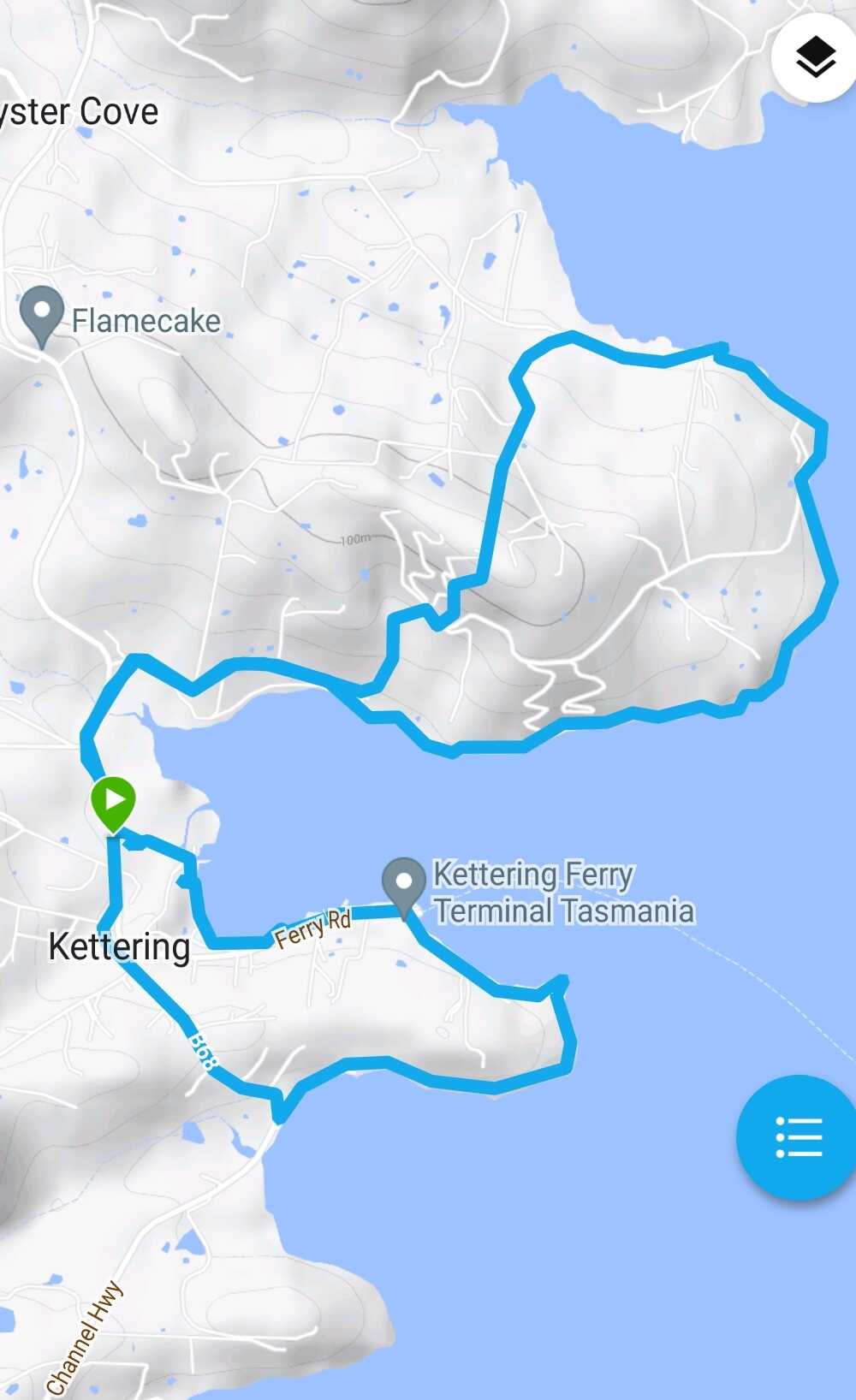
Due to todays forecast of inclement weather the scheduled walk was changed to one more suitable - a circuit of Kettering, Trial Bay and Manuka Hills. Eight intrepid walkers braved todays walk.
When we arrived in Kettering light rain was falling so it was time put on the wet weather gear.


All good leaders know how to inspire their troops - here we have today's walk leader Chris applying this strategy with an inspiring pre walk pep talk.

Setting off towards Trial Bay we get a glimpse of Manuka Hills across the bay - later today we will be on these hills.
 |

At Trial Bay, Lyn one of today's walkers is rewarded for her sharp eyesight.

Trial Bay to Kettering, with a view across The Channel towards Bruny Island


We spot a ferry on route between Kettering and Bruny. This isn't one of the regular boats as normally there are two Sea Link boats on the route.

Approaching Kettering we stop to enjoy the view from a lookout platform. By now there is bright sunshine!!


These wheelbarrows look as if they have had a rough night and are sleeping it off!!

We passed this structure which looked to be a large hothouse - on closer inspection it turned out it was a shed for a shipbuilder who was building a catamaran.

The golden boot is still on the river bank.

Next stop is morning tea at the BBQ area beside the sports ground. Why is Chris sitting by himself?


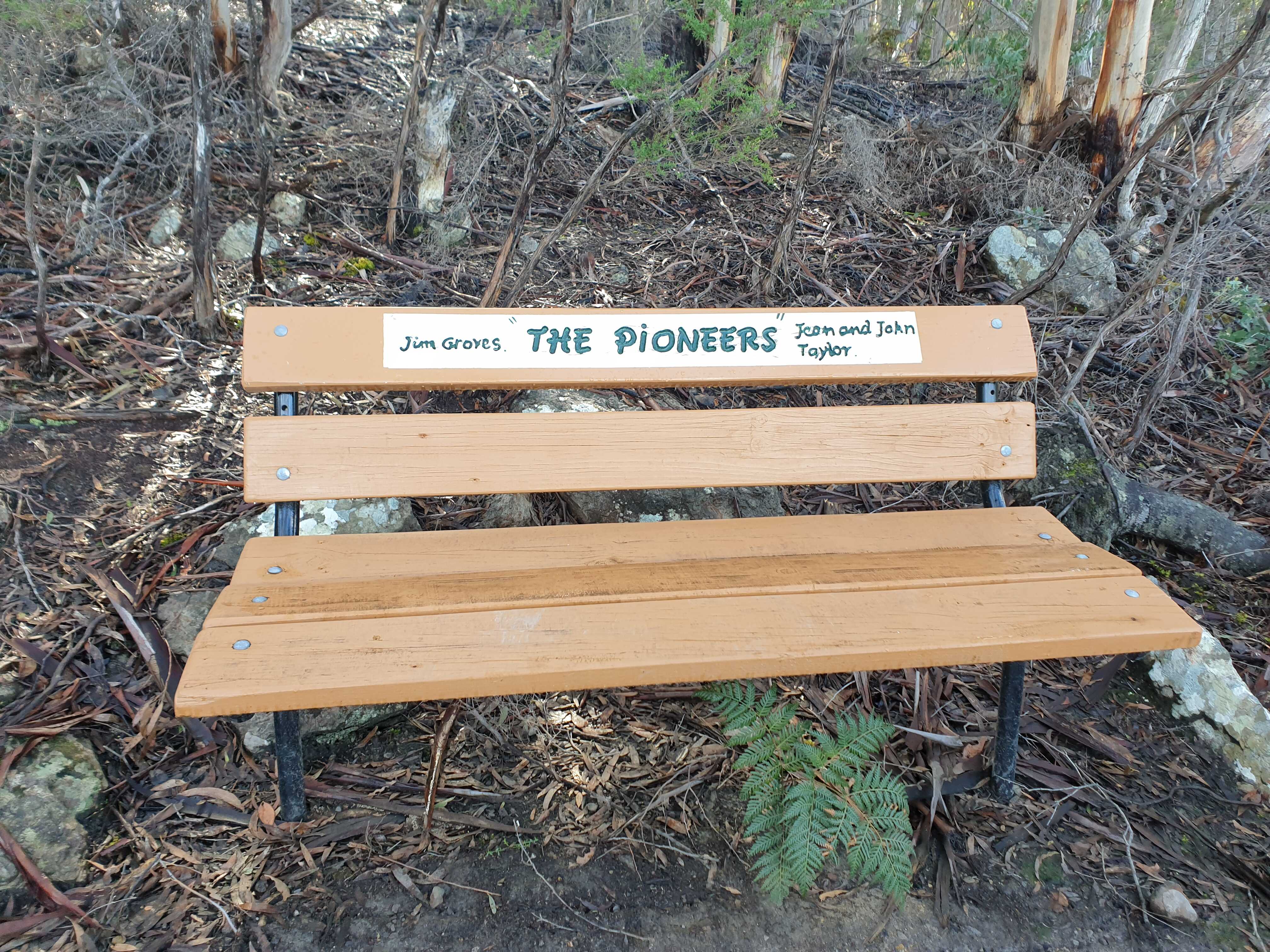
Interesting monument.


We leave the coast and initially follow the road until we reach the Manuka Hills Track which climbs over Larges Hill which is the highest point on today's walk.


This statue of a young woman was on a property on top of the hill.


Moving on towards our lunch spot at Oyster Cove.


After lunch we take the coastal track around the point back towards Kettering. Along the way we meet this friendly local who ran all the way across the paddock to great us.


Signs recent of coastal erosion


We then followed the D'Meure track back along the coast. Even though it was high tide we took a risk and fortunately we reached the end of the track without getting our feet wet - only because some track improvements raised a short section above the waterline. One of the following photos shows that where the track used to go is under water today (along the shore and under the pier).


It took just over 4 hours to walk 11.8 kms.
Click here to download GPX file


No comments:
Post a Comment