Following a week of very strong winds and lots of rain the forecast for today will allow our little group to meander around the lower slopes of Mount Wellington.
We leave the cars at the top end of Old Farm Road and head up Myrtle Gully to Junction Cabin then on to NewTown Falls circling back via The Main Fire Trail to our starting point.
The group heading towards Myrtle Gull Track.


Our first waterfall of the day which was quite spectacular as it usually only has a trickle over it.


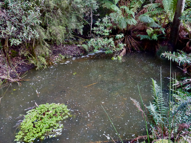
There was plenty of water running in the creeks.


One of a number of minor creek crossings.

The remains of an old hut alongside the track.


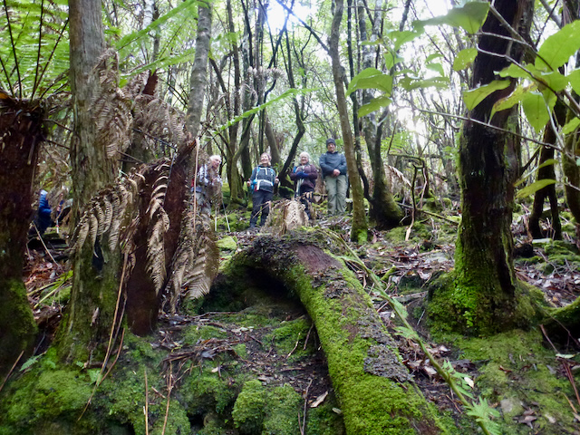
It is a good consistent climb up the gully.


Lots of little streams running onto the track.

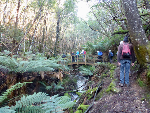
And another bridge.

The edges of this part of the gully are very uniform we wondered whether they were man made.

A step up the hill from the track and there was more evidence of man made construction with another hut style wall and level shelving.

Fungi.

Moss covered boulder fields.

Looking down into the center of a Dicksonia antarctica or Man Fern with the new growth showing through.

One of the larger trees still standing alongside the gully track.

And a steep section of the track.


Levelling out

Heading towards NewTown Falls after morning tea at Junction Hut.


Even in this section of dry eucalypt forest there were still little streams of water appearing alongside the track seemingly emerging from underground then disappearing a short distance away.


Fungi.

A view through the trees to the Bowen Bridge and Prince of Wales Bay.


NewTown Falls.


Lunch on the steps beside the falls.


The Falls drop quite significantly on the lower side of the track.


After discussion regarding crossing the creek our first walker makes his way without getting wet feet.


Once over the creek we head off.


Following the Main Fire Trail which our leader told everyone was relatively flat.

The Casino and Sandy Bay from the Main Fire Trail.


One of a number of water holes for use by the Fire Service in the event of a bushfire.
A creek that crossed under the Main Fire Trail.

You take the high road and some of us will take the low road.


The final descent back to the cars.


We had 11 walkers who covered nearly 9km and climbed and descended 460 meters over 4.25 hours.
A most enjoyable walk with few challenges and nice to do in good weather,
Thanks to Chris for his photos.
No comments:
Post a Comment