Tuesday, 29 January 2013

Hartz Peak 2013

This walk took place on Tuesday 29 of January 2013 on a comfortable but slightly overcast day. A good day for walking.

I hadn't been here for years and has it changed! Day use shelter, walkways, toilet. All the mod cons.


Day shelter, long drop toilet at end of walkway to left.

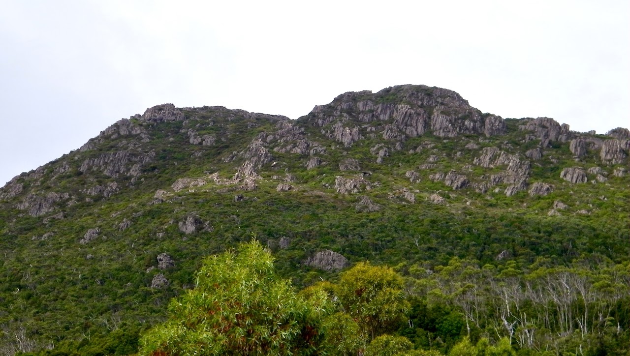
Mountain view

Boot cleaning station


Looking down towards Huon

Walkway towards our objective


Morning Tea

Getting closer to the climb

Heading towards first steep but short climb to plateau.

Hands & feet required

Looking back, track in is just visable.


We found this little bloke waiting for us at the top


Track over second plateau towards summit.


First plateau


Hartz Lake - glacial

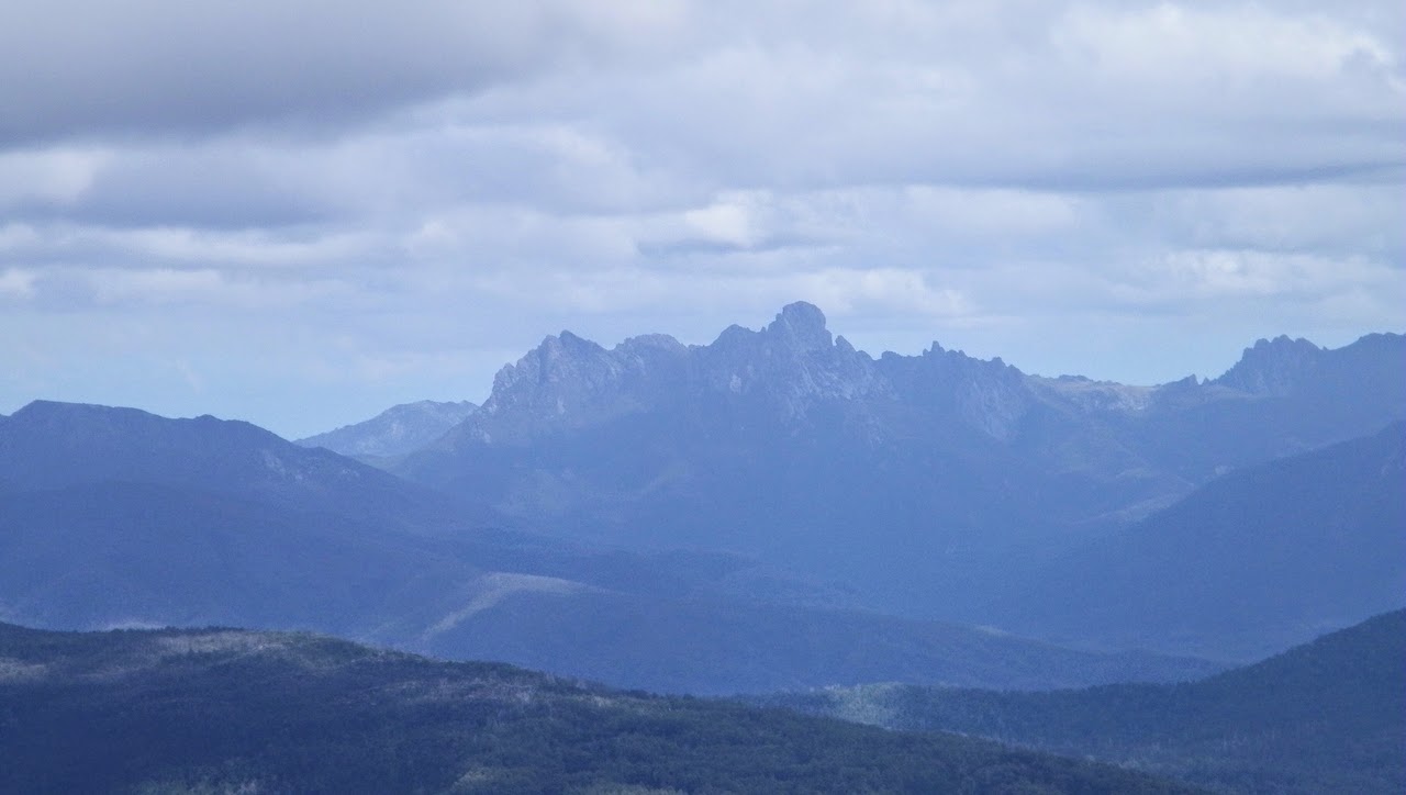
Distant range

Nearing summit


Top of our world


Heading back. Not a bad view.

Hartz Lake

Totem like tree.

Looking back

Flower in small tarn

Cushion plant


Lake Esperance - bit more flash then the last time I was here


Not sure what was said, but Addie's covering his ears!


We had around 10 walkers and covered 8.3km in 4:37 hours


Click here to download GPX file

Tuesday, 2 October 2012

Mother Brown's Bonnet via Woodvine Nature Reserve 2012

This was a good day with fine weather, in a new area. This was an old farm that was given to the Crown by Mr Herbert Ernest “Ernie” Shaw in 1998. Mr Shaw died in 2005. Woodvine was declared a reserve in 2001

The farm has 377 hectares or about 932 acres and protects native species of plants & animals that have been driven out of nearby cleared areas. Although left to Parks & Wildlife, it is looked after by the Friends of Woodvine Reserve who keep out invasive introduced plants, and maintain the buildings. The farm was original settled by Mr. Shaw's ancestors in 1861.

The walk leaves the farm and crosses the remains of a paddock to enter open forest. It then travels up across a clear space, before finally reaching Mother Brown's Bonnet. I have no idea where that name came from.

Coming back to the farm after lunch, we wandered around the farm buildings & house. The house is locked so you're limited to looking through the windows. There's another, similar, farm not too far away.

We had about 13 walkers and covered 8.33km in 3:50

Click here to download GPX file

The Farm

From the paddock near the rear

Past what looks like and old seed drill


A little bit of moisture, but not bad

Track turns a little bit sandy


Entering forest

This maybe lunch or Morning Tea, I think both were at the same spot

Getting close to our destination

Clear zone near the top

Gordon contemplating the top

The view

Back at the farm

Outdoor oven, I wonder where the large sandstone blocks came from.

Flowers in old garden in front of house. Notice green occupant.


Neighbouring property. I don't know if the two are connected.


Thursday, 23 August 2012

Risdon Brook Upper Tracks 2012

This was a good walk with good weather at Risdon Brook Dam. There are many tracks, mostly unmarked throughout the hills.

We had about 10 walkers and covered about 4km in 3:14 hours.

Click here to download GPX file

This little fellow was just over the dam

Easy walking

All important Morning Tea

Very open bush


Wednesday, 8 August 2012

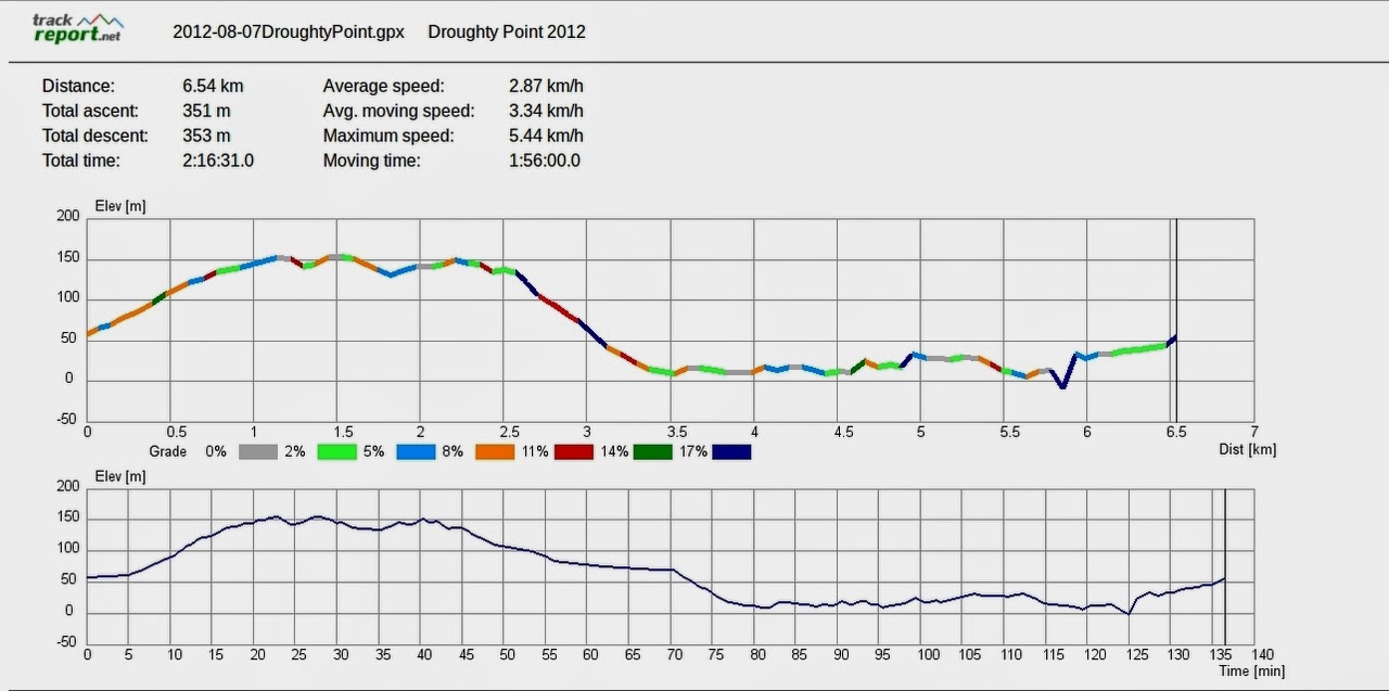
Droughty Point 2012

A rather cold day, as you can see from the snow on Mt. Wellington. Still, the sun was out and it was a good walk.

We had  10 walkers and covered 6.54km in 2:16 hours

Click here to download GPX file


The start

A chilly sight, still we are on the Eastern Shore, no snow here!

Bit windy. All the trees went to make Whale Oil
Walking South

Heading down to Trywork Bay


Navy ship heading down the Derwent

Coming up off the beach

Looking back

Telephoto across to Kingston Beach & Alum Cliffs

Coming up the other side of the point, back to start