Today we're going to do a circular walk on Bruny, starting at the old church of St. Peter, located on the Murrayfield Station. Sally was leading us today and made all the arrangements with station management to walk on the property.
First however, we had to catch the Bruny Island Ferry, Mirambeena, for the 20 minute ride to the island. The weather was overcast and quite windy which made it feel cold.
I had walked down from Woodbridge, to meet the group at the terminal and catch a ride with Helen. Everything was fine until we arrived at Bruny and the car wouldn't start. No life or lights at all. Fortunately, the ferry crew had no doubt dealt with this type of problem before and a gentleman in overalls, probably the chief engineer, turned up with a battery pack and jumpers. Meanwhile, the rest of the cars were directed around us.
That did the trick and the car started so we could move off, not delaying the ferry's return journey. It also started at the end of our walk, which had been a little bit of a worry as we were so far from help.
Back to the story.
Murrayfield is operated by the Indigenous Land Corporation, and if you want to find out more about it, just
click here.
Arriving at the turnoff, we entered a rough track before coming to a locked gate and the station manager's wife who was waiting for us. After Sally signed her life away, we passed through the gate and 2 more (unlocked) to arrive an our parking area, just down from the old church.
Now, skipping back 20+ years, Val & I visited this spot several times while walking out to Cape Queen Elizabeth and taking the Rookery track up and then across to reach the church, before heading back down another track to reach our car, which was parked near the airstrip.
There was very little left of the church, except for piles of bricks, and it was located in the bush.
Fast forward to today, and the Bruny Island Community and the Bruny Island Historical Society have leased this land, which also includes ruins of a pilot station. For further information,
click here.
 |
| Walking up from the cars. |
 |
| First view of the church. |
 |
| Even a description board! |
 |
| Looking back north towards the cars. Years ago this was all bush. |
If you don't want to follow the above link, here's a copy of the information on St. Peters church.
***
The first Anglican Church to be built south of Hobart Town, funded by Pilot William Lawrence, the church was designed and later consecrated by Bishop Russell Nixon, the first Anglican Bishop of Tasmania. From 1847 to the 1890's the church served as the base for the Anglican communities of
Bruny Island and D'Entrecasteaux Channel with an itinerant Reverend who travelled with the Parish Register recording marriages, births and deaths as he officiated along the Channel and on Bruny Island.
Substantial remains exhibit a rare colonial bond design brickwork in the walls.
A large brick kiln site with associated clay pits and a water hole is located beside the church,
and the adjacent burial ground contains at least 3 to 5 graves
.
***
After viewing the church site as it is now, we headed south and entered the Bruny Island Neck Game Reserve, where most of our walking would take place.
 |
| Start of the track from the church, heading south. It used to have a name, but I can't recall it. |
 |
| Very dry bush. |
 |
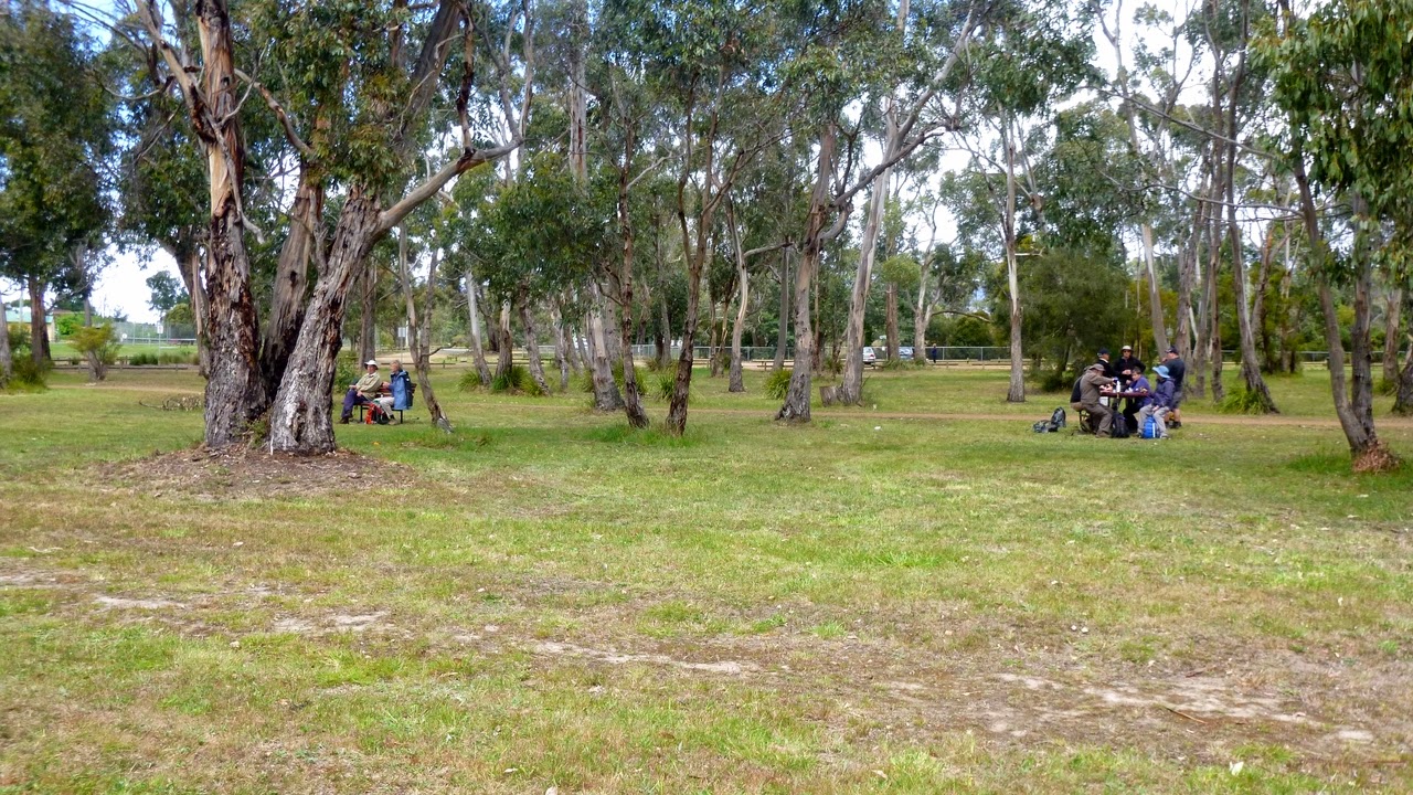
| Morning Tea. Who is that masked man? |
 |
| Alien message? |
 |
| Pretty little orchid. There were several of these along the track. |
 |
| First view of the Neck Beach. |
 |
| Looking south along the Neck Beach. |
 |
| Looking northeast, towards Cape Queen Elizabeth. |
 |
| Another look at Neck Beach which shows the hordes of people. Wait! No one's there. Tell me again, why do we live in Tasmania? |
We were following a ridge, so this part of the walk was fairly level and runs down to Mars Bluff.
At the Bluff we picked up the track leading to Miles Beach. This cuts along the side of a hill above the beach and gives good views, before arriving at the back of a large dune.
 |
| Mars Bluff |
 |
| Past Mars Bluff to Grass Point. |
 |
| Miles Beach to the north. |
 |
| Track to Miles Beach. |
 |
| Looking down. |
 |
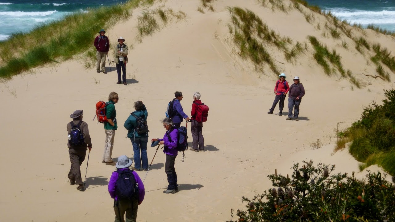
| A first. Waiting for the photographer. |
 |
| Down to the beach. |
 |
| Windy, with good surf. |
From there, we go down to the beach and walk north. Before we pick up the track going north which leaves at the end of the beach, we detour to look at an old shack hidden in the dunes, that dates from way back. I don't know who it really belongs to. I seem to remember an article about it many years ago, and it's fairly old (for Tassie).
 |
| Heading inland for the old fishing shack. You should be able to spot the top of the stovepipe. |
 |
| No? Here's a hint. |
 |
| It's well hidden. |
 |
| Some of the group came in the easy way from the other side. We tougher ones took the hard way. |
 |
| Garden decoration. Possibly from a dolphin. |
 |
| Front door. |
 |
| Kitchen and lounge. You can imagine being close to the fire on a dark and stormy night. With your resident Tiger snake by your side. |
 |
| Bedroom. At least you can sweep it clean. |
After visiting the shack, we walk back to the beach and pick up the track up the hill, and at the junction of tracks, take the Rookery Track.
 |
| Climb up from the beach to pick up the Rookery Track. |
 |
| Don't know, can't find it in the book. |
Walking along the Rookery track we passed through more dry bush before finding a place for lunch.
 |
| "What's their hurry?" |
 |
| Looking for lunch. |
 |
| Found it. |
After lunch we continued north through another gate then over a locked one (3 padlocks for 3 different organizations.) and started back towards the cars.
 |
| First gate. |
 |
| We're over the locked gate and heading back to the cars. |
 |
| Interesting habitat in the cutting bank. I didn't think I should put my hand in. |
Back in the cars, we returned to the ferry terminal, and as it was pleasantly sunny, everyone headed to the little (well stocked) shop for ice cream and wait for the ferry.
 |
| Here it comes. |
 |
| Looking at the mainland, Woodbridge is down there somewhere. |
It was a very good, interesting walk, and we all thank Sally for her efforts on our behalf, even though she said it only took 1 email and 1 phone call.
We had 12 walkers and covered 10.23km in 3:40. If you want to walk from Woodbridge and return, add another 11.13km. I was fairly knackered.
Click here to download GPX file