Today we're walking Cascade Gardens along the Hobart Rivulet then into the hills behind. Bob is our leader.
The weather is perfect, warm and sunny as we leave the car park off McRobies Road in South Hobart.
Bob has just told us we don't need our packs as we're walking the linear park along the Hobart Rivulet first, returning to the cars before we set off on the second stage of the walk.
I take mine as it has my camera gear attached, besides I don't feel comfortable walking without a weight on my back!
 |
| Cascade Brewery with Mt. Wellington behind |
 |
| Heading down DeGraves Street |
 |
| Unusual housing. Note the unusual sign below the street name |
We pass some of the older houses until we come to the site of the Female Factory. Not what you think, this was the site of a female workhouse for convicts between 1828 and 1856.
 |
| The Female Factory as it is today |
Most of the buildings have been torn down long ago, but there are tours available here that describe the miserable lives of the inmates, which included children.
Below are three photos of the old Factory as it was before being demolished. These also show how much South Hobart has changed. These were taken by James Backhouse Walker in 1892.
We enter the park and walk through an area that had businesses such as tanneries and others that needed a continuous water supply for their processes. This used to be a very polluted waterway in the past, but now all is different.
 |
| We turn off uphill to create a loop |
 |
| Battery Point with the River Derwent behind |
We return to the cars, pick up our packs and head off. Not for long, though as Morning Tea is due to be taken.
 |
| Morning Tea |
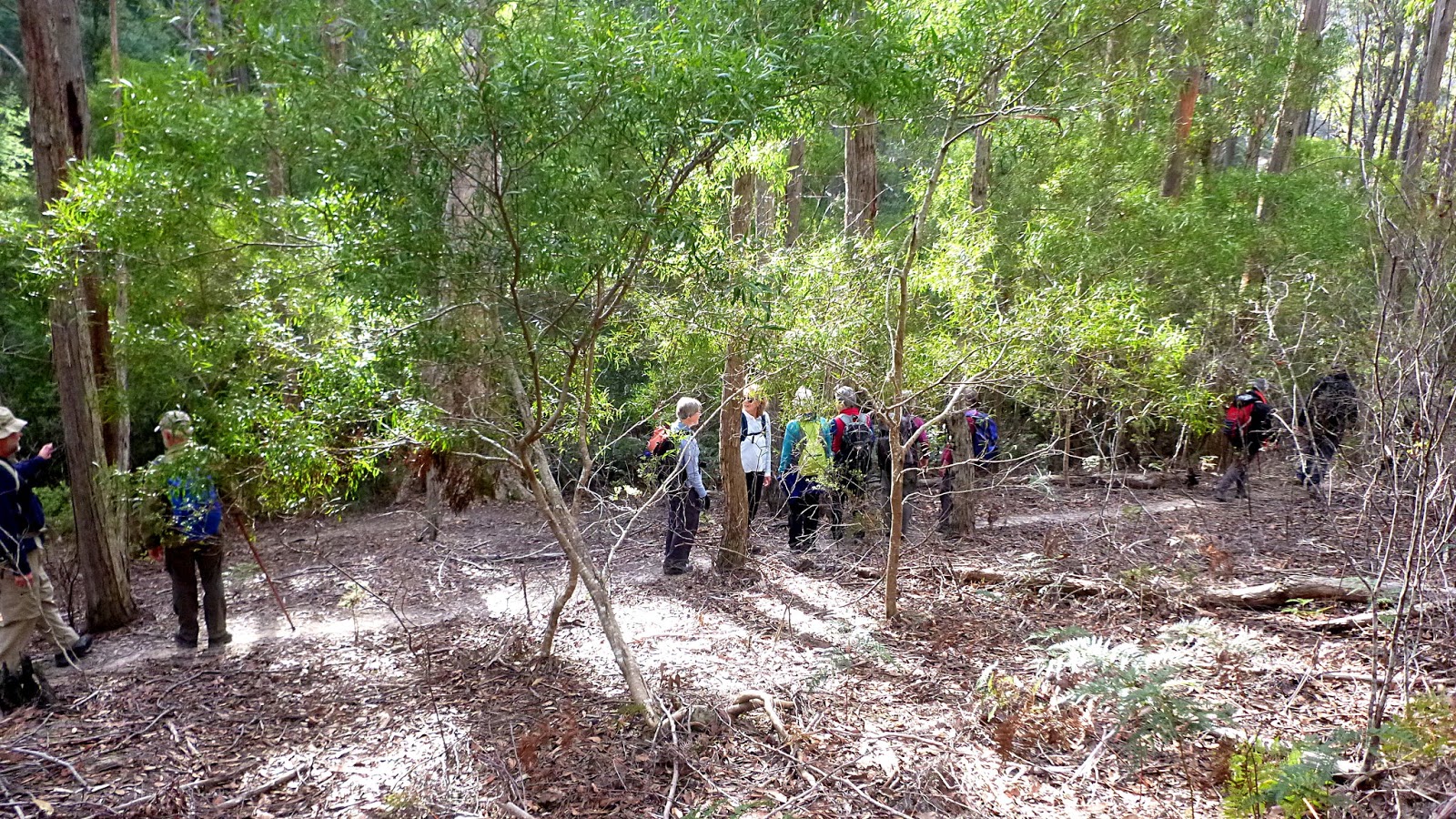
Tea finished, we head into the hills. There are numerous tracks and trails around here, both for bikes and feet as we shall see.
 |
| That's more like it! |
 |
| Always a view of Mt. Wellington and the Organ Pipes |
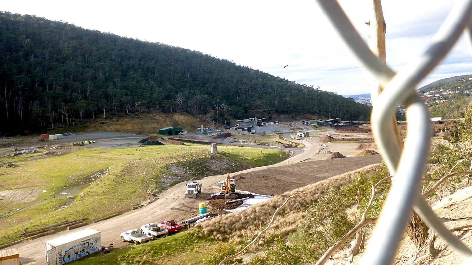
Our route takes us along a fire trail leading past McRobies Gulley which is the site of Hobart's waste disposal. I can tell you from past experience that it's nothing like it was years ago. Now it's neat and well laid out with many stacks of fermenting compost I watched one being turned and can vouch for the internal heat generated as evidenced by the steam cloud when it was moved.
 |
| Compost heap being turned below |
Soon we turn off onto a foot track heading through the very open and dry bush. I was asked if I knew the name of the hill we were on. I've checked all the maps and I can find no name for it, which is surprising as most of the hills around do have names.
 |
| Looking back |
This track loops up the hill to cater for cyclists. There are three of us at the back of the group, Peter, Geoff and myself, who Bob feels he has to warn not to take shortcuts. The photo below shows how unfair this is as the stone steps were obviously constructed with foot traffic in mind.
 |
| Geoff and Peter at top of forbidden stone steps |
We continue climbing until we come to a fire track which we follow until we reach the Tip Top track where we turn.
 |
| The is an old track, the Main Fire Trail is just above us |
 |
| Start of our next track, heading down and along |
 |
| For who? |
 |
| Doesn't look too bad yet |
If you want to see what it looks like on wheels,
CLICK HERE for a YouTube video.
We'll stick to feet at the moment.
Eventually, we come back to the fire trail we earlier left. Now we're looking for a lunch spot.
 |
| We head left here |
There are other choices besides turn left.
 |
| Straight across |
 |
| Right |
We find a good place on a side track, plenty of seating for all.
 |
| Lunch |
After Lunch we take a narrow track leading through the bush. Looking at the map, I think we're at the other end of the track in the photo above with the caption of "Straight across".
This winds around for a while before we turn, heading into a gully to a road continuing down.
Now we're in Golden Gully and heading down a private road called Golden Valley Road.
There were a few cyclists heading (slowly) up this road. As far as I can tell it ends at a house, but a council track appears to connect before the house to the fire track we were on before lunch. I assume that's where they were going.
 |
| Golden Valley Road isn't so golden in spots |
The end brings us out onto Old Farm Road, and we continue down.
 |
| Old Farm Road |
 |
| Guy Fawkes Rivulet |
Guy Fawkes Rivulet changes it's name to Hobart Rivulet at Cascade Brewery according to the map.
Before we get that far, we cross the rivulet on some slippery rocks and take a short, sharp climb up to another foot track leading in the right direction.
This takes us to another track that leads back down to the cars. On the way, Wayne points out a couple of locals watching us. The first one gets away and the second gives a good display of camouflage as you can (or can't) see.
 |
| Spot the local |
We had 14 walkers and covered 11.84km in 4:02hrs. A very enjoyable walk with plenty of possibilities for variations.
Click here to download GPX file