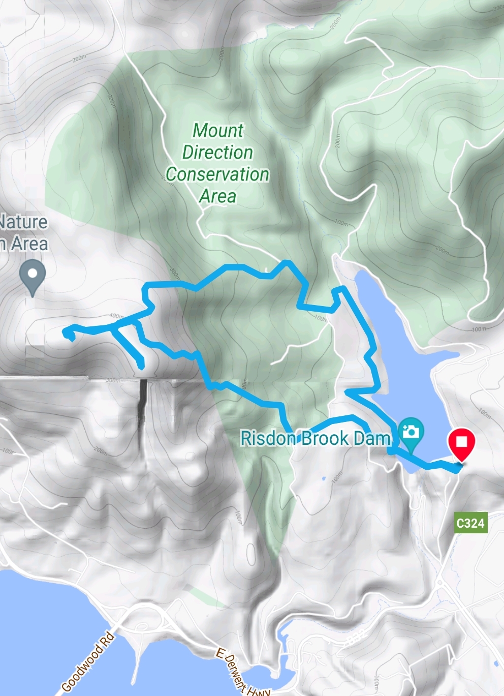
Today's walk is along the coast between Seven Mile Beach and Roche's Beach with a circuit of Lauderdale via the Tangara Trail.
We set off from Seven Mile with a little cloud cover and not much wind.
A number of happy faces looking forward to the walk.


There were a number of different types of seagulls floating on the water as we walked past.

Heading for the start of the track of the beach.

The rain clouds look like they have broken up.


Descending to the beach for morning tea.

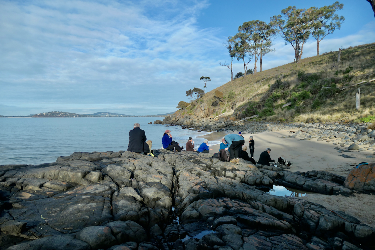
There is always one who wants to get really comfortable and also comments about staying for the day and getting picked up by the rest of us on the way back.

Ascending away from the beach with possibly Mt McGregor in the background.

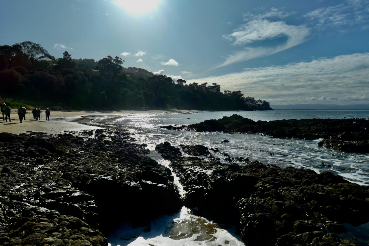
Looking towards Mays Beach and beyond.

The trackworkers have constructed some wonderful little rock bridges along the track.

It is unusual to see a couple of duck perched on the branch of a large gum tree above the cliff.


There are a number of extensive houses on the top side of the track and this particularly nice faux georgian number was built in recent years.

Starting the climb on the Tangara Trail with a view across Lauderdale.

This fellow was about 10 feet from the trail and very interested in us passing unlike the other 10 plus that took off as soon as they heard us.

A circular wood heap alongside other styles but this appeared to be the most decorative.


Epacris impressa - Native or common Heath - which is widely spread across South East Australia.


Good bushwalking practice to spread out to reduce the traffic damage but I think it was really because of the various discussion groups being able to hear one another.

Crossing an unnamed creek while searching for a lunch spot out of the increasing wind.


Lunch site found and agreed upon leaving everyone to gaze out on the water views.


We have Pied and Sooty Oystercatchers, Pied cormorants, Pacific Gulls, Silver Gulls. Quite a little community.

This WWII bunker was used for monitoring any shipping in Frederick Henry Bay. I noted that a photo of this bunker taken in 2021 it is completely graffitied. It looks like it has had a new paint job very recently.

The view across Frederick Henry Bay which was originally named "Bale Du Nord" by Bruni D'Entrecastreaux in 1792-93 and was later confused by a number of English explorers including Tobias Furneaux, James Cook and William Bligh. The original Frederick Henry Bay named by Abel Tasman in 1642 was actually where Blackman Bay and Marion's Bay is today.
https://en.wikipedia.org/wiki/Frederick_Henry_Bay


Back at Seven Mile Beach at last.




 I
I