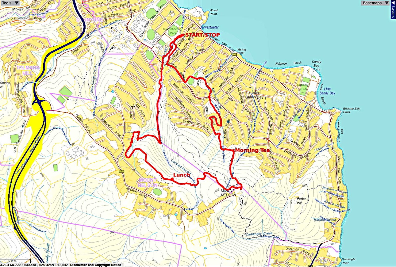
Today Bob is taking us from Lambert Avenue near the Casino up to the Mt.Nelson Signal Station and back. Sounds simple but he has a devious route in mind.
Weather forecasts have been varying and rain is possible.
Parking at the bottom of Lambert near Sandy Bay road, we head up to enter Lambert Park, beside the University of Tasmania.
 |
| Bob issuing orders for the day |
 |
| Looking back at the Casino |
We exit the park at Churchill Ave, heading left. Some street walking to Waimea Heights Primary School where we turn onto a track along the school fence. After frightening some school children, we make our way through the playground.
 |
| Resisting temptation, we pass through and down a bank |
Turning left shows a track through some scrub to another track of sorts.
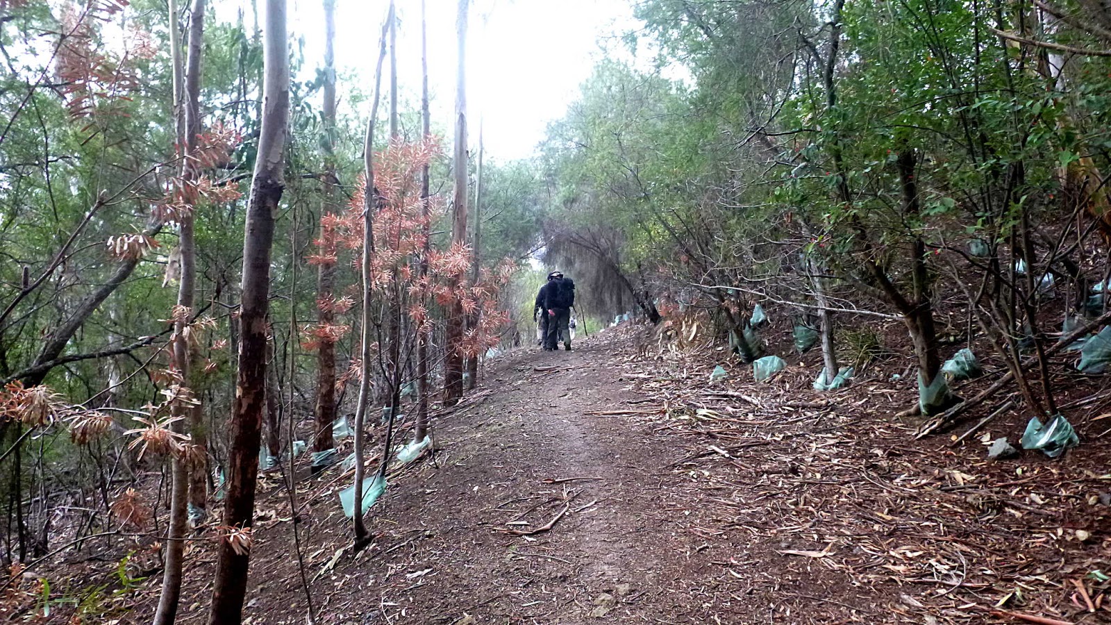
We're walking along Maning Rivulet I think, and here the going gets much rougher. We have to get over a fallen tree!
 |
| Houses above us on each side. |
I hope someone was appreciating our style in coping with obstacles.
 |
| Looking back at these old trees is a reminder that this was farmland in the past |
On we go to the next obstacle which is man made. This stairway takes us back to Churchill Ave which we cross.
We're back walking along the rivulet again.
We eventually come to another set of steps up to a street.
 |
| Million dollar views up here |
We walk down for a short distance before turning left up hill to where the road ends. Here an old road and track continue on.
 |
| Wayne has just had a viewing at one of the few properties under $1,000,000 in the area |
We follow the track along the level for a short way before we start going up.
 |
| Going up |
 |
| We continue up beside that fence |
That fence wasn't here before and the dozer track has grown up since last time. All destined for development in the future.
We cross a road that has been newly graveled and find a spot for Morning Tea.
 |
| An entrance to the reserve, this is a service road running up to the Signal Station |
 |
| Morning Tea... |
 |
| ...with a view |
That's the eastern end of the Tasman Bridge in the distance.
Tea finished we make our way up the track below.
 |
| I don't know who Tom was, but the angle of the sign indicates his taste in tracks |
 |
| The gum tree survived a bush fire and supplied a home to the fern |
 |
| Looking back. An unofficial bike track coming in on the left |
We come to, what I suspect is the service road from earlier that will take us to Mt. Nelson.
 |
| The Signal Station |
After a short break in which I can see the weather is changing, we set off.
 |
| Is this weather going to affect us? |
 |
| Several of the party changed into wet weather gear |
I'm very glad they did as I didn't. As it worked out, there were about half a dozen drops of rain so I thank them for their sacrifice.
We're walking along an old track now, heading roughly north. The track winds around as we go showing more evidence of past fires.
We're on the edge of private land, and I can see areas that will be built on in the future.
 |
No indication of where this water comes from
|
But I wouldn't want to drink it.
 |
| Looking back |
Lunch is looming and we come to a spot where we turnoff and make our way down to a rock shelf lookout.
 |
| Heading down for lunch |
 |
| Plenty of seating... |
 |
| ...with a view |
The shelf isn't terribly high as you can see below.
 |
| Looking down |
You would have to make some effort to get here so it is disappointing to see all the cans, plastic bottles and food containers and other rubbish that have been thrown over here.
What were people thinking, assuming they are capable of thinking. Unfortunately it doesn't show up well in the photo above, I'll do better next time.
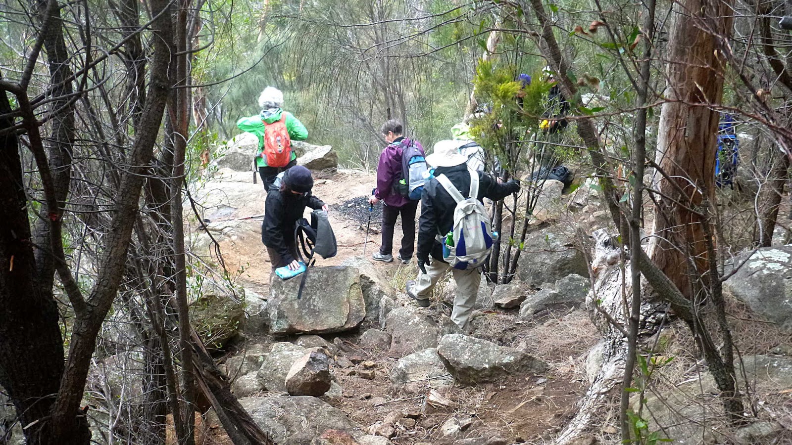
Scrambling back up to the track after lunch, we continue on.
 |
| Back on track |
Again, there are houses above us as we come to a fence that we follow around.
 |
| We follow the fence around to the left |
There's been a band of trees cut down, following the fence line. It's not that they were blocking any view and if it was for some sort of bush fire prevention, why leave all the fuel lying there for next summer?
 |
| We find an old track leading down |
 |
| The trees are getting larger |
Shortly after that photo, some of the others stop me and point out what seems to be the remains of a stone building above us. There are also a couple of old water tanks in the bush below.
 |
| Look carefully and a wall can be spotted running through the centre of the photo |
 |
| The wall seems to extend a fair way |
I think that due to the length, it's the remains of an old road. I would like to explore it in the future.
 |
| Old water tank. Anything to do with the old road? |
 |
| Another tank |
The track winds down, getting darker and greener as we descend.
Other tracks and a foot bridge lead off in other directions. We're actually not far from Lambert Park and the cars and soon end the walk.
We had, I think, 10 walkers and covered 9.35km in 3:44 hrs. A very interesting walk by Bob. On return to the cars, Bob told me we went that way around because of his concern about possible rain that would have made that section very slippery to come down.
Fortunately rain stayed away and it was a nice climb anyway.
Click here to download GPX file


No comments:
Post a Comment